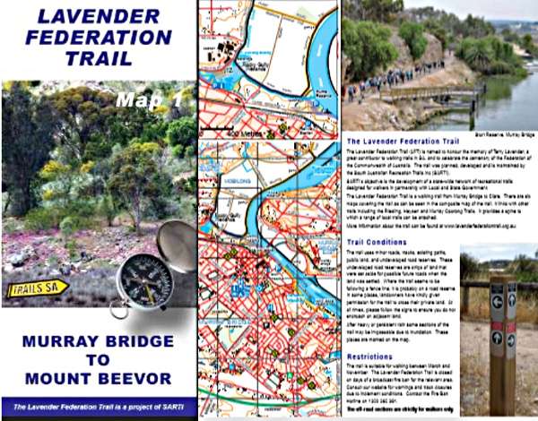
A New Map 1 Murray Bridge to Mt Beevor is now available. The new version incorporates the many changes that have occurred since the version released many years ago was published.
Close to Murray Bridge many changes to the route have occurred near and around the wetlands and riverfront as the Murray Bridge Council have built bridges and DEW have upgraded the tops of levy banks.
A road reserve has been reclaimed by Council, multi-use trail built & re-vegetation program taking a section of trail from the edge of the rail track.
Further west, over half the section originally running on Hartman Road is now off road on Environment & Conservation land.
Additions to the map include trails within the Kinchina Conservation Park. Trails in Kinchina connect with the LFT in Rocky Gully and are all multi-purpose shared walking & MTB trails that extend through to the Princess Highway. Kinchina trails are a small scale and it is recommended that you download a detailed map from our website if you intend using them.
The Sanders Loop, Mobilong Swamp and a section of the Murray Coorong Trail have been added in an enlarged insert section.
At the western end of Monarto, the Browns Road and Oleria Trails that connect to the LFT are also additions and are multi-purpose trails shared with MTB riders.
Adding these trails to the new map allows you to plan walks that utilize not only the Lavender Federation Trail but also the others that are connected to it. Previously, most were only shown on individual maps from different sources.
Trail descriptions, text and photos are new or upgraded.
Map stockists are shown on our web site with most able to arrange postage if required.